Low-Level Satellite Photos Look Like The Best City-Building Game Ever Made
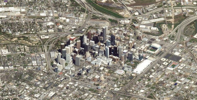
Planet, a company that runs “the largest fleet of Earth-imaging satellites in orbit”, use those satellites to take hi-res, zoomed-in shots of the surface. Some of those are isometric, and that’s got me longing.
Post a Comment